01
All-Time Top 10
↗The longest drives on the 347.
| Rank | Driver | Score |
|---|---|---|
Individual completed runs · highest score first

ARIZONA HIGHWAY ARCADE
← / A STEER D / → ↓ / S BRAKE
An arcade escape. Never play while driving.
KNOW THE ROAD
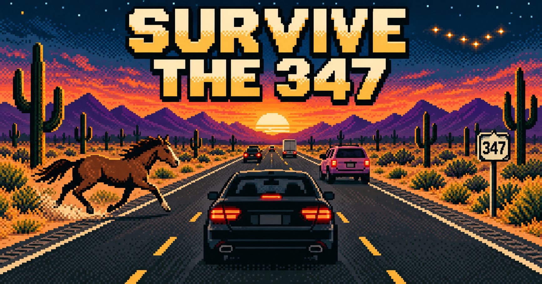
Survive The 347 is a free online driving game inspired by Arizona’s SR-347 between Maricopa and I-10. Choose from seven vehicles, dodge traffic and wild horses, and survive haboobs as each leg gets harder. Play in your desktop or phone browser and chase the top 10 scores.
Your car accelerates automatically. Pick your gaps, brake early, and watch what’s coming.
Watch the rear-view mirror for flashing headlights. After the flashes, you have 2.5 seconds to move over before the car hits you. Move into a clear lane. Traffic can cut in ahead of you—watch its turn signals and be ready to brake.
Riding the motorcycle? It drifts while moving. Make small steering corrections to hold your line.
On a phone, hold the large left, right and brake buttons. Steering and braking work together.
Enter: start · P / Esc: pause or resume
R: restart after game over · M: mute or unmute
Brake in time for red lights. Crossing the stop line on red deducts 5,000 points, down to a minimum score of zero. Slow to 35 MPH through Frank’s marked zone or lose another 5,000 points. Your car won’t brake for you. Waiting and pausing earn no points. Stay within the two northbound lanes. Contact with vehicles or horses, or a nail strike, ends the run. Reach I-10 to complete a leg, then return to Smith-Enke for a harder northbound pass with your score intact.
From leg 4, random haboobs can roll in with sprinkles, lightning, heavy dust and crosswinds. Brake when the storm warning appears: slower arcade speeds reduce the wind’s pull. Watch for fallen trees blocking a lane. Nights give way to dawn at leg 9 and daylight at leg 10, then the sky cycle repeats.
LEAVE YOUR MARK
Every run counts. How far can you go?
The longest drives on the 347.
| Rank | Driver | Score |
|---|---|---|
Individual completed runs · highest score first
Arizona time · Monday–Sunday
| Rank | Driver | Score |
|---|---|---|
Resets Mondays at midnight Arizona time.
OFF THE SCREEN. ON THE ROAD.
This is a fictional arcade game based on a stylized version of SR-347. On the real road, obey traffic laws, follow police directions, and look out for one another. Never play while driving.
Check mirrors and blind spots before changing lanes or turning. Motorcycles can be difficult to see. Signal early, leave a safe following distance, and give riders room.
Keep right when practical and safe. Pass, then return right when clear. Allow for turns, traffic, roadwork, and posted signs. Obey the speed limit, and never tailgate or drive aggressively to make someone move.
Give stopped vehicles and roadside workers room. When approaching a stopped vehicle displaying flashing or warning lights, move into a nonadjacent lane when safe. If changing lanes is unsafe or impossible, slow down and pass cautiously. For an approaching emergency vehicle using lights and a siren, yield, move right safely, and stop clear of intersections until it passes.
Set your route and audio before you leave. Do not text, browse, film, play games, or handle devices while driving. If you need to use a device, pull off the roadway safely and park first.
Every person, every seat, every trip. Buckle up before moving, and use the appropriate child restraint for each child.
Safety recommendations. Official guidance: Keep right · Move over & yield · Arizona device law · Motorcycles · Seat belts
Planning your next drive? Visit OurMaricopa's SR-347 traffic and road information page before you leave.
A REAL ROUTE. AN ARCADE RECREATION.
We model early 2023, before the city-edge widening: the familiar two through lanes in each direction from Smith-Enke Road to the I-10 diamond interchange. Riggs remains an at-grade intersection; northbound through lanes at Old Maricopa flow past its turning signals. This is a stylized recreation, not a live representation of today’s roadworks.
The fixed, map-derived course is about 14.84 real miles. Distances are uniformly compressed 10:1 into a 1.48 game-mile leg. Game speed and distance are arcade units. Junction order and bend direction follow the route; lane widths, building details, wash profiles and mountain outlines are simplified. Traffic, horses, nails and police encounters are fictional, with no claim about actual hazard locations or police deployment.
Pima Butte and the Sierra Estrella move with the camera’s map position and heading. M Mountain’s broad rocky ridge and white marking are illustrated from a local reference photo. The neighborhood entrances are arcade interpretations of Cobblestone and Rancho El Dorado; building details and the marking’s visibility are simplified.
Sources checked September 8, 2026. Current OSM geometry was compared with pre-2023 node/way histories and official corridor maps. Borgia/Sacate’s side-road placement is approximate within about 100 m. Public aerial and street-view capture dates were not always available. Casual leaderboards use server-replayed driving inputs and single-use run IDs; they are not cheat-proof. Runs expire after 24 hours.